or
(Part of) Marty's Road Trip
Two days ago, at the pool, Anita, a good friend, told me that she and her husband are working on hiking The Bruce Trail end to end a little bit at a time. This inspired me. Yvonne and I have been here for almost a year and a half and have done some hiking but it has been different than hiking Alberta.
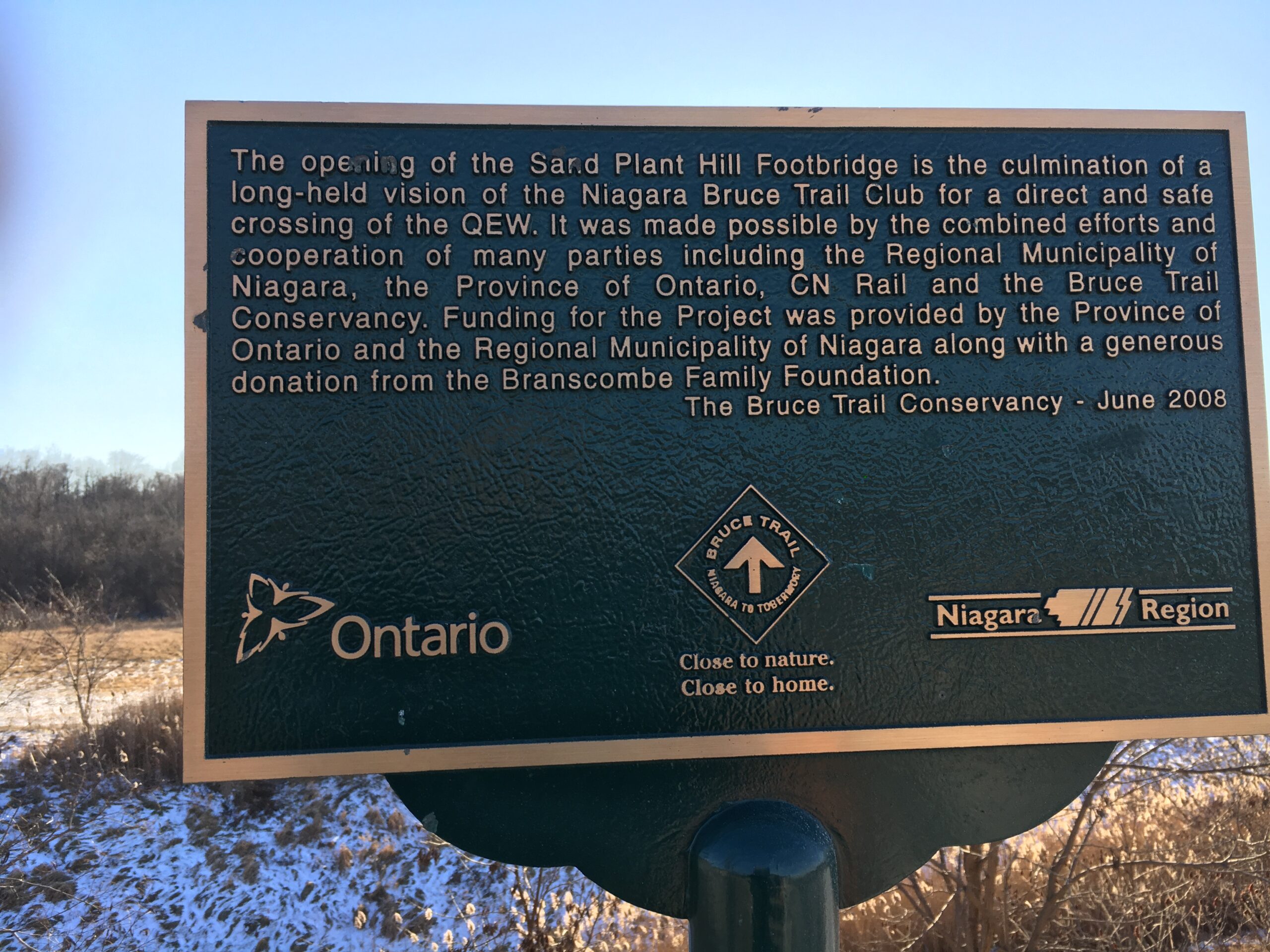
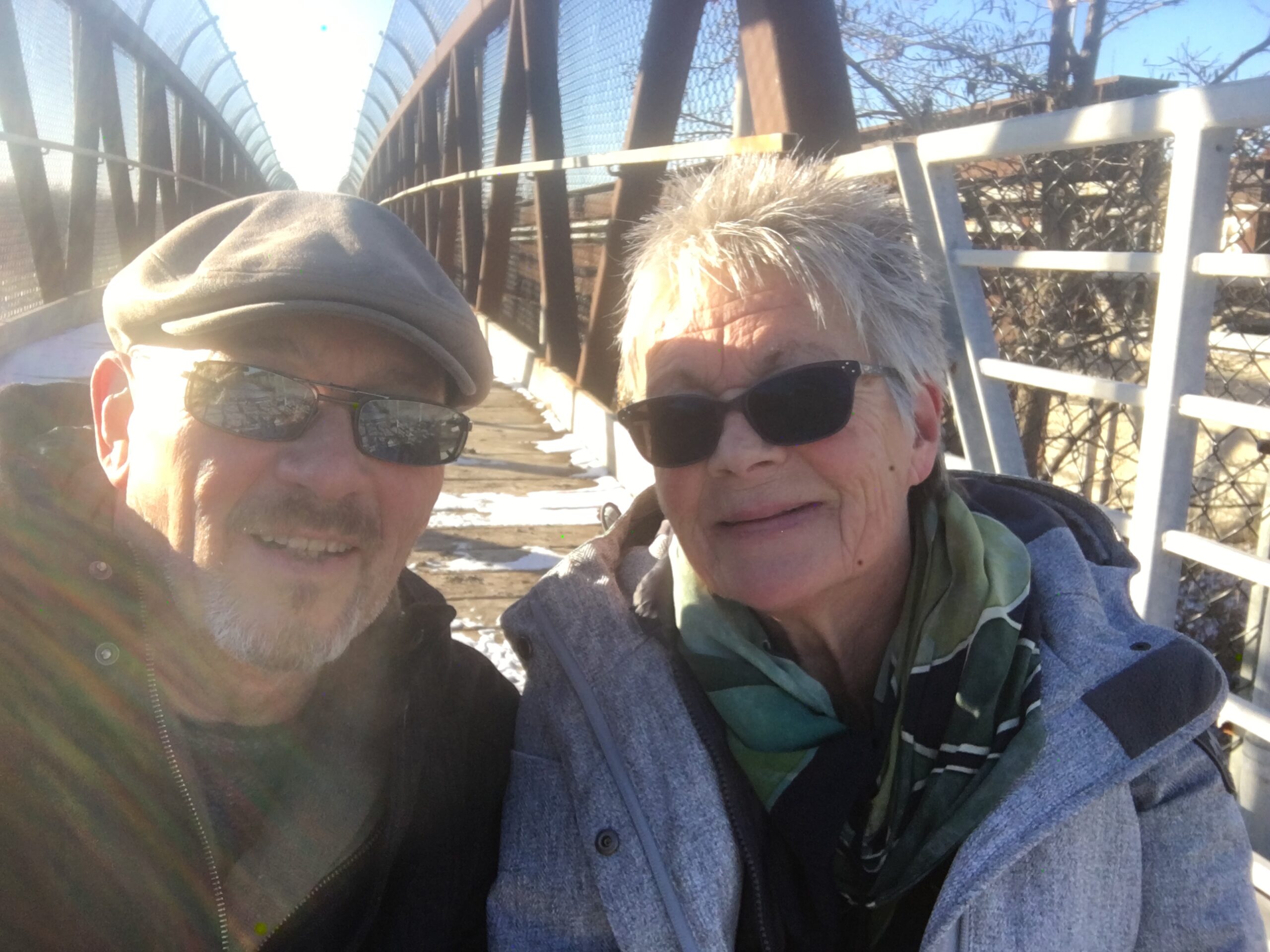
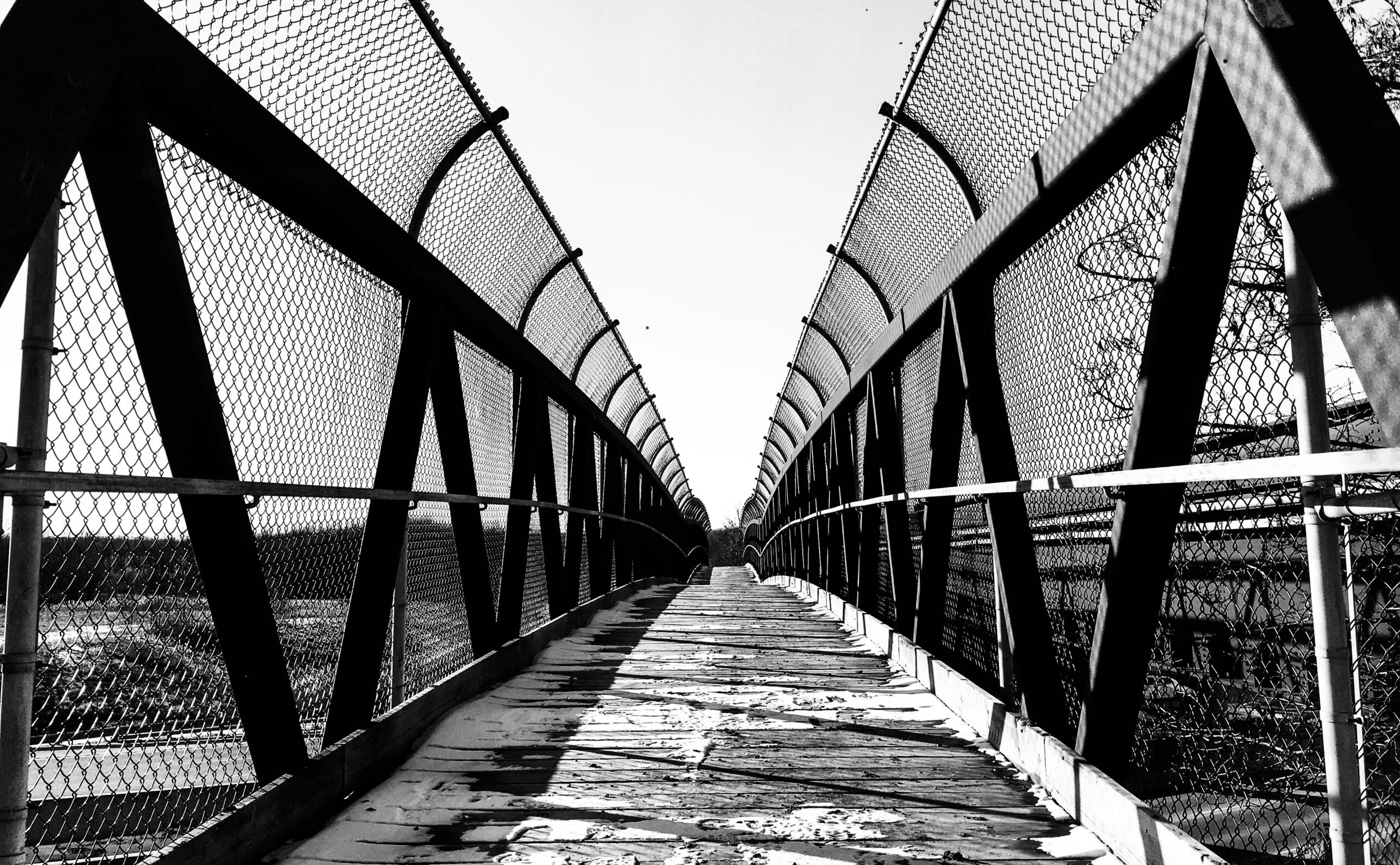
So, yesterday, inspired with a goal, we started! We began at Queenston Park. That is at the conjunction of Portage Rd and Niagara Parkway. There is a little monument (cairn) that you will see in the first photo. That is the southern end of the 890 km hike. It is a decent sized park so to save you some wandering around looking, go to the eastern most reach of the parking lot. Right near the traffic circle you should see it. If you then face away from the river, you should see the white trail markings on the larger trees. Just follow those. At the other end of the park, you will see the actual trail head into the woods.
We parked the ‘end’ car at a small parking lot at the very north end of Dorchester road. It is at the end of the road leading north from Mountain Rd. running along Fireman’s Park. Yesterday's hike was about 8.3 kilometers.
It is January and the temperature yesterday was about plus 9 Celcius. So it was pretty muddy. Wear boots. The majority of the trail is fairly easy going but there are a couple middle parts where there are some somewhat steep climbs down. With the covering of leaves there were some pretty slippery spots.
We were late afternoon, so the areas with leaves coating the forest floor and the sun coming through the trees made for some quite pretty hiking. Those spots were generally out of the wind which made it quite peaceful.
Speaking of wind, depending on the direction you can be protected or not. If you are hiking along the ridge and the wind is coming off Lake Ontario when it is a chilly day, you are going to feel it. If it is cold, wear something that will cut the wind.
Below, you will see some photos from our first day. I’m not sure how often we will get to hike this but as much as we can. Maybe we’ll get some sections done with our snowshoes. Who knows? There are some sections of the trail that we’ve done already, so we may or may not repeat them.
Also, we are using two cars, as advised by my friend but when we get a little further afield, we will likely make use of Uber for the short runs back to the car.
I downloaded the Bruce Trail app as well, to my iPhone to keep track of distances, and hike we do, etc. I may also track the hikes on my Garmin watch. The hiking app on my phone will keep exact distances of the hikes. And will keep track of steps.
I went online and purchased the whole map thing. I figured that we are going to hike the whole damn trail over the next couple (or more) of years, so the maps they supply should earn their keep.
Here is a link to purchase if want: Bruce Trail Map Guide
And thanks again Anita for the inspiration!