bruce trail

Rockway to Louth Falls

Rockway to Louth Falls

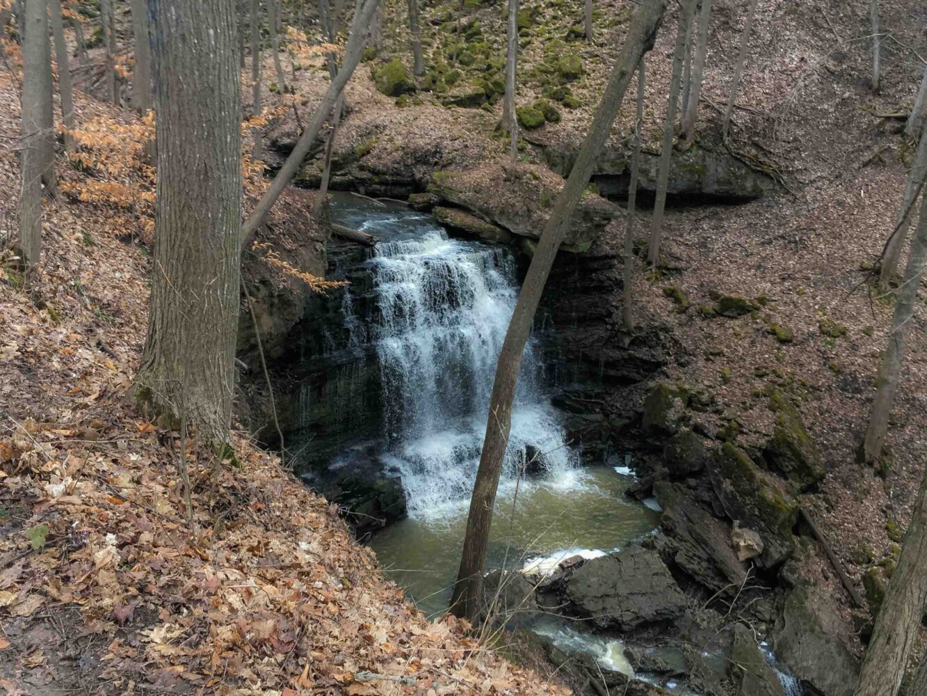
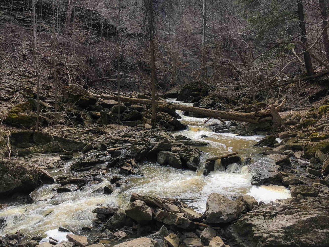
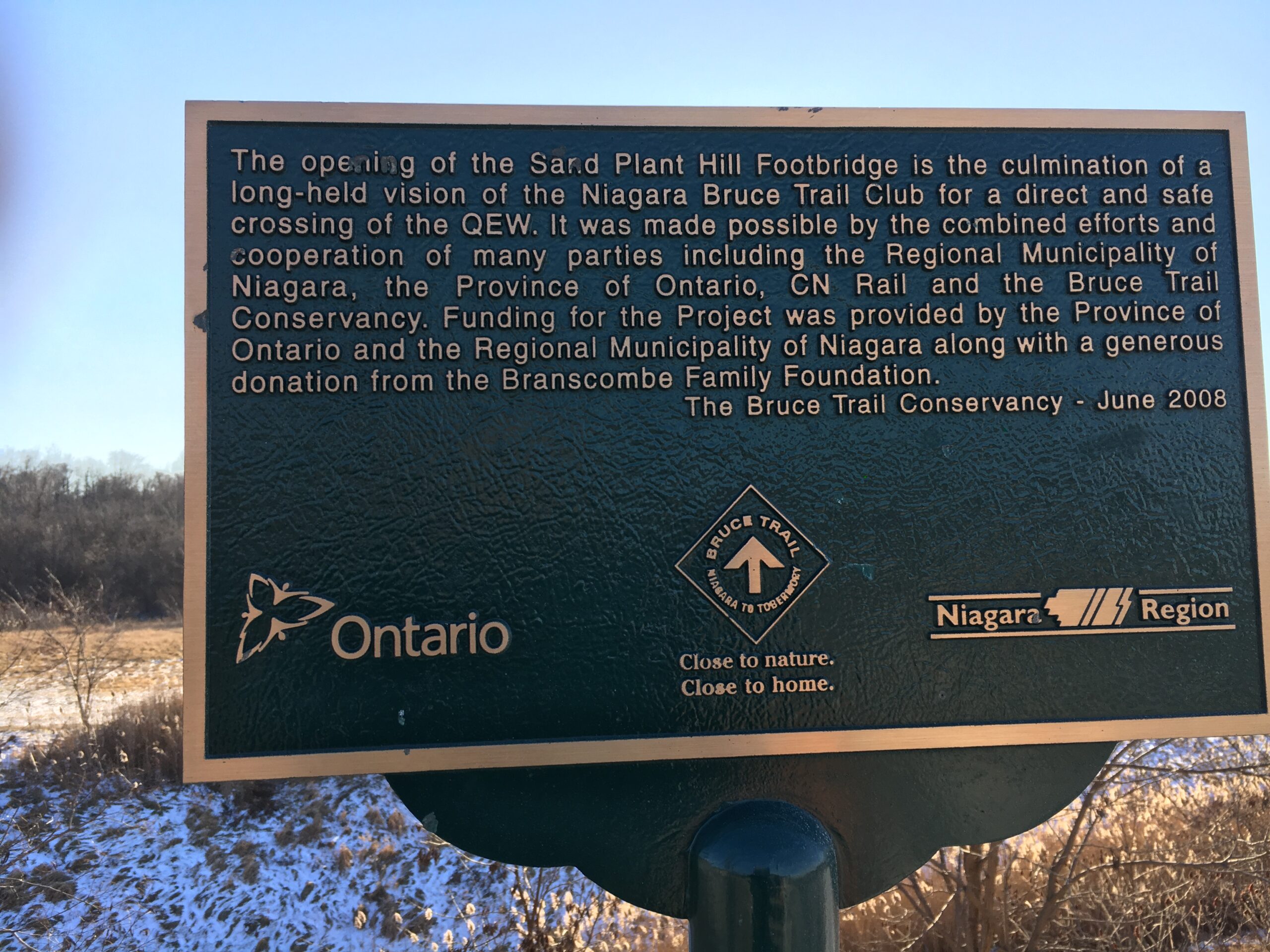
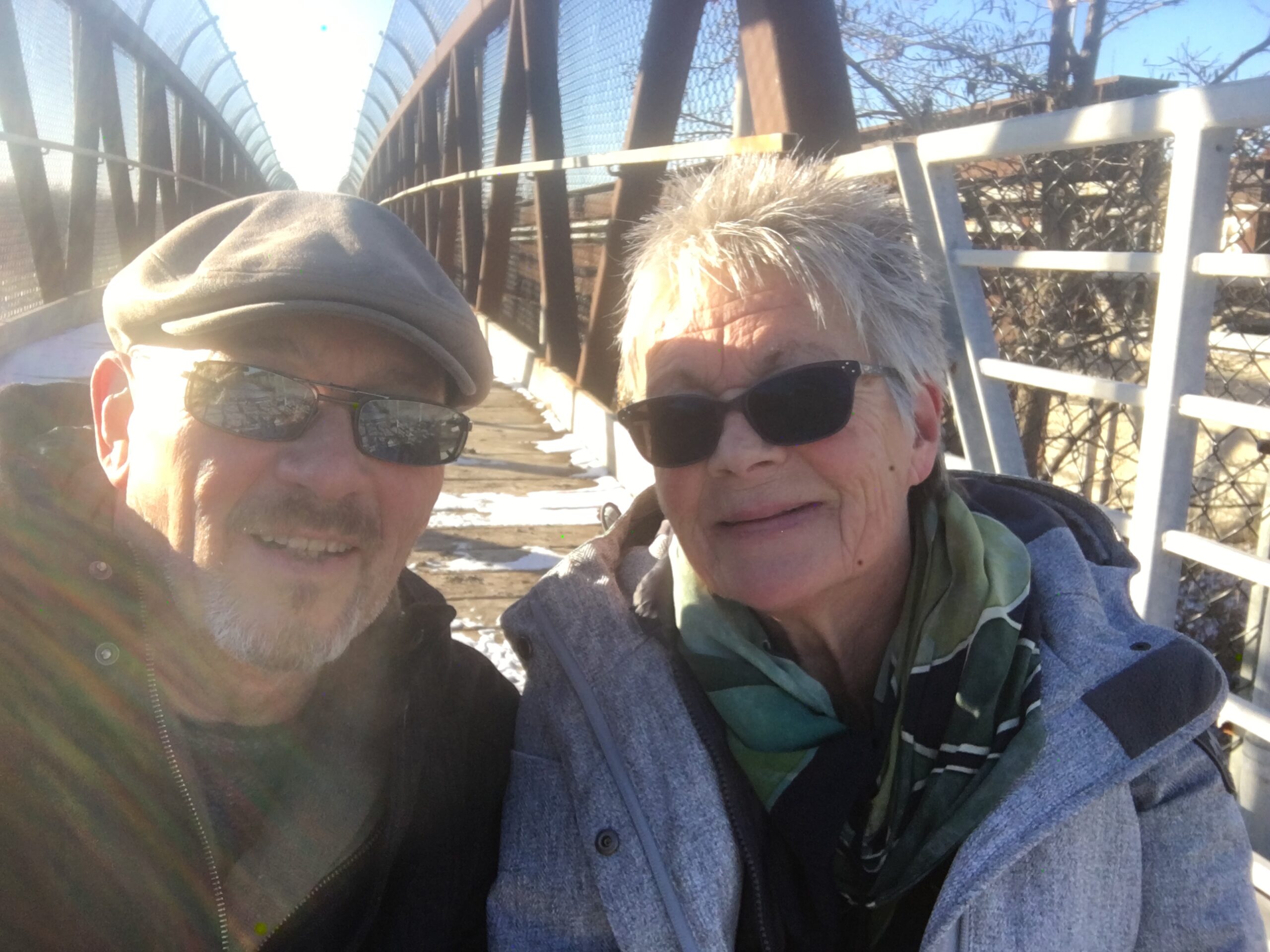
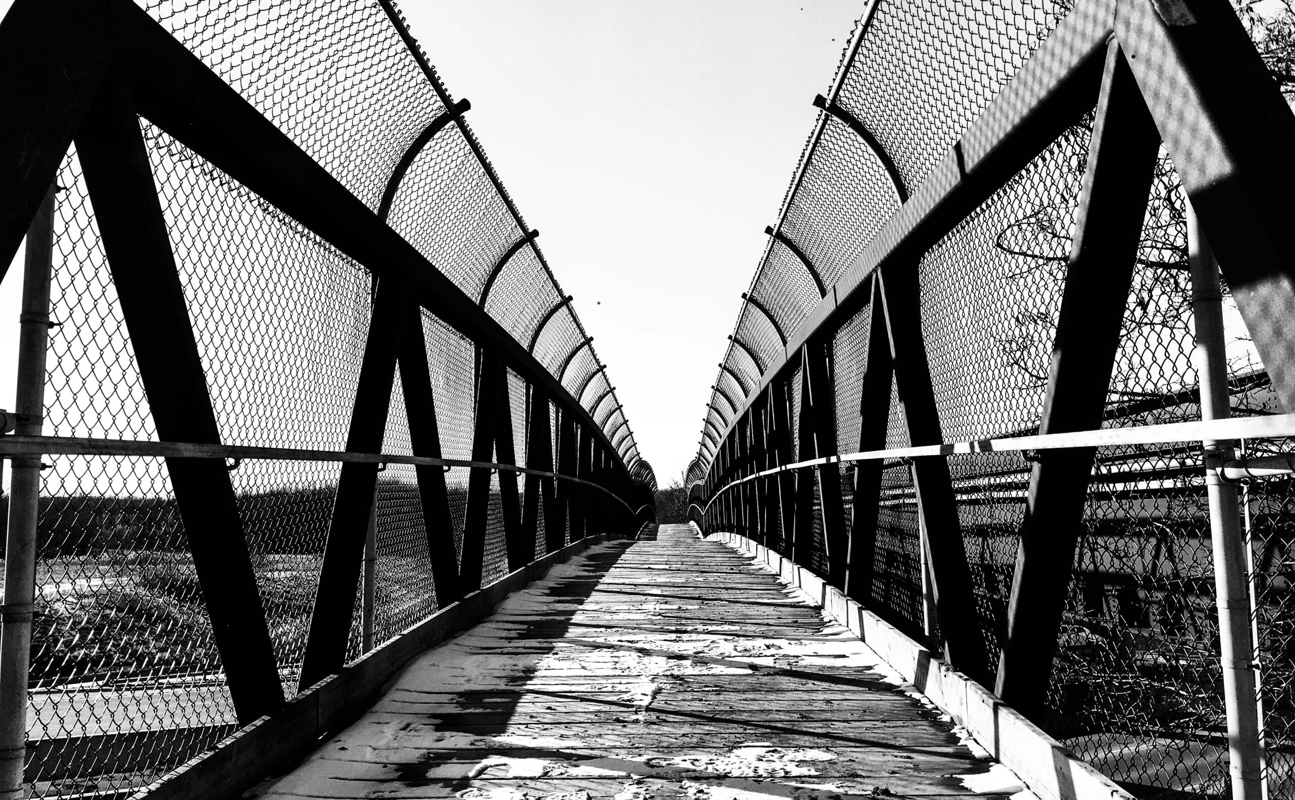
Yesterday we hiked from Rockaway to Louth Falls.  We took only one car so had to hike there and back.  It was one of our more enjoyable hikes.  Well, it did rain for half the time…

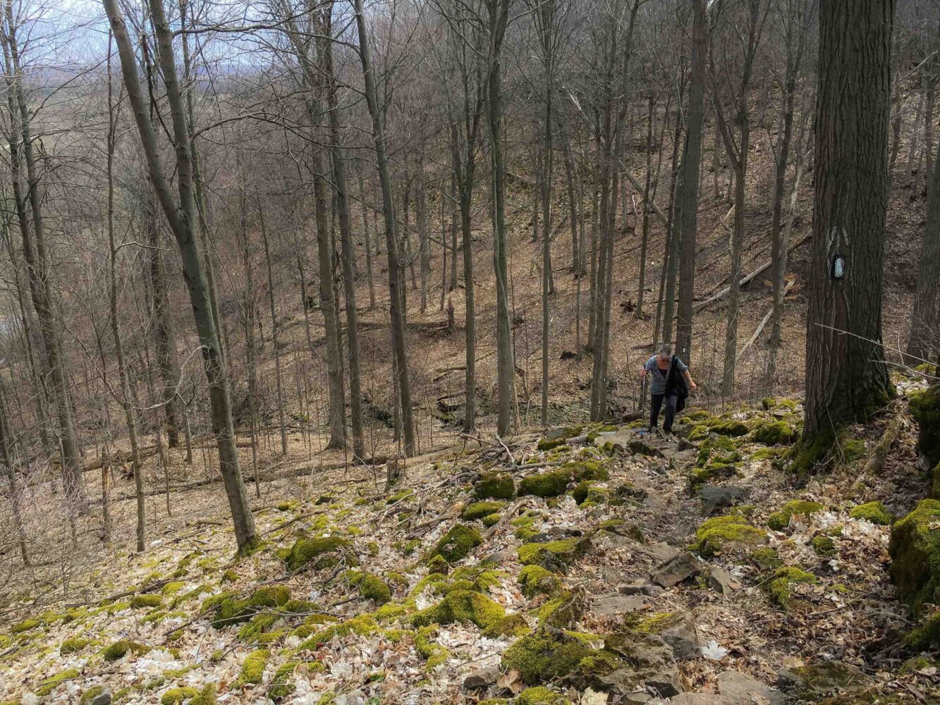
We had the trail to ourselves and there was a fair bit of up and down.  More that a lot of the trails here we’ve done so far. 

It started raining about 15 minutes before we got to Louth Falls.  Took us just under 2 hours to get there from Rockway parking lot.  We tend to dilly-dally taking photos and such so if you are hiking in earnest it will likely take you an hour each way.  Total was a little over 10K the way we did it. 

My wife brought a walking stick/ski pole.  I should have brought something.  We have good walking sticks but most of the hikes we have been on in the Niagara region, there really has been no need.  As there was a fair bit of ups and downs on this hike and with the rain and all it made for some pretty slippery slopes.  Definitely would have made my life easier. 

Also, the rain made a good argument for carrying a dry shirt and even a light rain slicker.  I was once hiking Ha Ling, up behind Canmore, Alberta.   It was quite warm where we started and I was drenched with sweat by the time I got to the top.  Tough climb.  There were snow flurries at the top. Fortunately I had a dry shirt in my backpack that I could change into. 

I read in some adventure or spy novel once a very smart idea in case of rain when you are stuck in the woods.  If all you had was a large plastic back that was waterproof, you could place all of your clothes in that while it was raining, (yeah, if you are soaked, you are going to get freezing cold anyway), once the rain had stopped, you cold dress in dry clothes and you would actually be much better off than if you let your clothes get drenched.  A simple plastic bag of some sort is practically weightless.

By the time we got back to the car the rain had, of course, stopped. 

We likely only have a couple more good hikes that we can get in before the kayaks come out and we on the rivers and lakes instead of the trails. 

Posted by Marty in Blog, 0 comments

Bruce Trail End2End – Hike #2

Hike #2 Bruce Trail
(End2End)

Marty's Road Trip

Yvonne and I did our second hike of the Bruce Trail Friday the 11th of January 2019. Was a bit shorter than the first - was approximately 6 km. I say this in inexact figures as although I had two electronic ways to track our hike I kinda messed up both.

First my iPhone. I like the phone but it doesn’t like the cold. It died about 2/3s of the way through the hike. It was a pretty chilly day and I kept in an outside jacket pocket. I was using the Bruce Trail App on it so it caught the first part of the hike and because I thought I was tracking it also on my Garmin watch (hiking app), I wasn’t too worried. But then after a few hundred meters I checked the watch and realized, new app, and I forgot to hit ‘start’. So, the hike is mapped in parts as you will see below.

A point here on the iPhone. From my research, they generally don’t like the cold. If you are hiking with it, keep it close to your body and as a back up keep an external charger, if you don’t want to lose part of the data from your hike.

This hike, as I mentioned was about 6 km or so. It was cold, about minus 5 C so the trail wasn’t muddy. We have very good winter boots, coming from Calgary where hiking in -15C to -20C wasn’t that uncommon for us. It’s the wind that kills us. When it comes off Lake Ontario and hits you on that exposed part of the escarpment, it is harsh. It was a very nice sunny day and fortunately it wasn’t windy at all. Which made the hike quite pleasant.

We started on the east side of Fireman’s Park at the bottom of Dorchester Rd. There is parking at the very end and a secondary trail that starts there. The main trail starts up near the rail tracks. There are two concrete barriers there. We parked there but likely shouldn’t have although there aren’t any ‘No Parking’ signs.

Most of the first part of the trail is low and in the woods so is protected from the wind, if you are there in winter. The trail is always quite well marked. We did go on a secondary loop along the QEW for a couple of hundred metres coming up to the walking bridge by the railway. Didn’t matter that much. The bridge is where my phone died. I was taking a few pictures and kaput! A couple of hundred meters beyond that is the Howling Bridge. You have to walk under that. It was mostly filled with water/ice. There was an edge of gravel on one sight. Not much choice but to go through there, so make sure that you have waterproof footwear.

Once you are out of the tunnel you have a bit of a walk along the road. Don’t worry, there is a sign telling you where to turn right. You are going through someone’s property - be respectful. And it is quite a pretty property. Then back in the woods of Woodend Conversation Area.

If you are parking your other car at this end, you have a choice. You can park at the entrance to the park, near Taylor Road or go all the way into the park and park near the education centre/outdoor school. There is a parking lot there. It is a little bit of a walk from where you come out of the woods but not that far.

You can also cross the road when the sign is there and follow the trail through the woods. We had done that part of the trail 2-3 times so didn’t bother this time. That section is a nice hike as it looks over Lake Ontario. Can be windy but great views, particularly in the winter when fewer leaves on the trees.

Enjoy!

Posted by Marty in Blog, 0 comments
Bruce Trail End2end – Part #1

Bruce Trail End2end – Part #1

or

(Part of) Marty's Road Trip

Two days ago, at the pool, Anita, a good friend, told me that she and her husband are working on hiking The Bruce Trail end to end a little bit at a time.  This inspired me.  Yvonne and I have been here for almost a year and a half and have done some hiking but it has been different than hiking Alberta. 

So, yesterday, inspired with a goal, we started! We began at Queenston Park.  That is at the conjunction of Portage Rd and Niagara Parkway.  There is a little monument (cairn) that you will see in the first photo.  That is the southern end of the 890 km hike.  It is a decent sized park so to save you some wandering around looking, go to the eastern most reach of the parking lot. Right near the traffic circle you should see it.  If you then face away from the river, you should see the white trail markings on the larger trees.  Just follow those. At the other end of the park, you will see the actual trail head into the woods.

We parked the ‘end’ car at a small parking lot at the very north end of Dorchester road.  It is at the end of the road leading north from Mountain Rd. running along Fireman’s Park.  Yesterday's hike was about 8.3 kilometers.  

It is January and the temperature yesterday was about plus 9 Celcius.  So it was pretty muddy.  Wear boots.  The majority of the trail is fairly easy going but there are a couple middle parts where there are some somewhat steep climbs down.  With the covering of leaves there were some pretty slippery spots. 

We were late afternoon, so the areas with leaves coating the forest floor and the sun coming through the trees made for some quite pretty hiking.  Those spots were generally out of the wind which made it quite peaceful. 

Speaking of wind, depending on the direction you can be protected or not. If you are hiking along the ridge and the wind is coming off Lake Ontario when it is a chilly day, you are going to feel it.  If it is cold, wear something that will cut the wind.

Below, you will see some photos from our first day.  I’m not sure how often we will get to hike this but as much as we can. Maybe we’ll get some sections done with our snowshoes.  Who knows?  There are some sections of the trail that we’ve done already, so we may or may not repeat them.

Also, we are using two cars, as advised by my friend but when we get a little further afield, we will likely make use of Uber for the short runs back to the car.

I downloaded the Bruce Trail app as well, to my iPhone to keep track of distances, and hike we do, etc. I may also track the hikes on my Garmin watch.  The hiking app on my phone will keep exact distances of the hikes.  And will keep track of steps. 

I went online and purchased the whole map thing.  I figured that we are going to hike the whole damn trail over the next couple (or more) of years, so the maps they supply should earn their keep.

Here is a link to purchase if want: Bruce Trail Map Guide

And thanks again Anita for the inspiration!

Posted by Marty in Blog, 0 comments